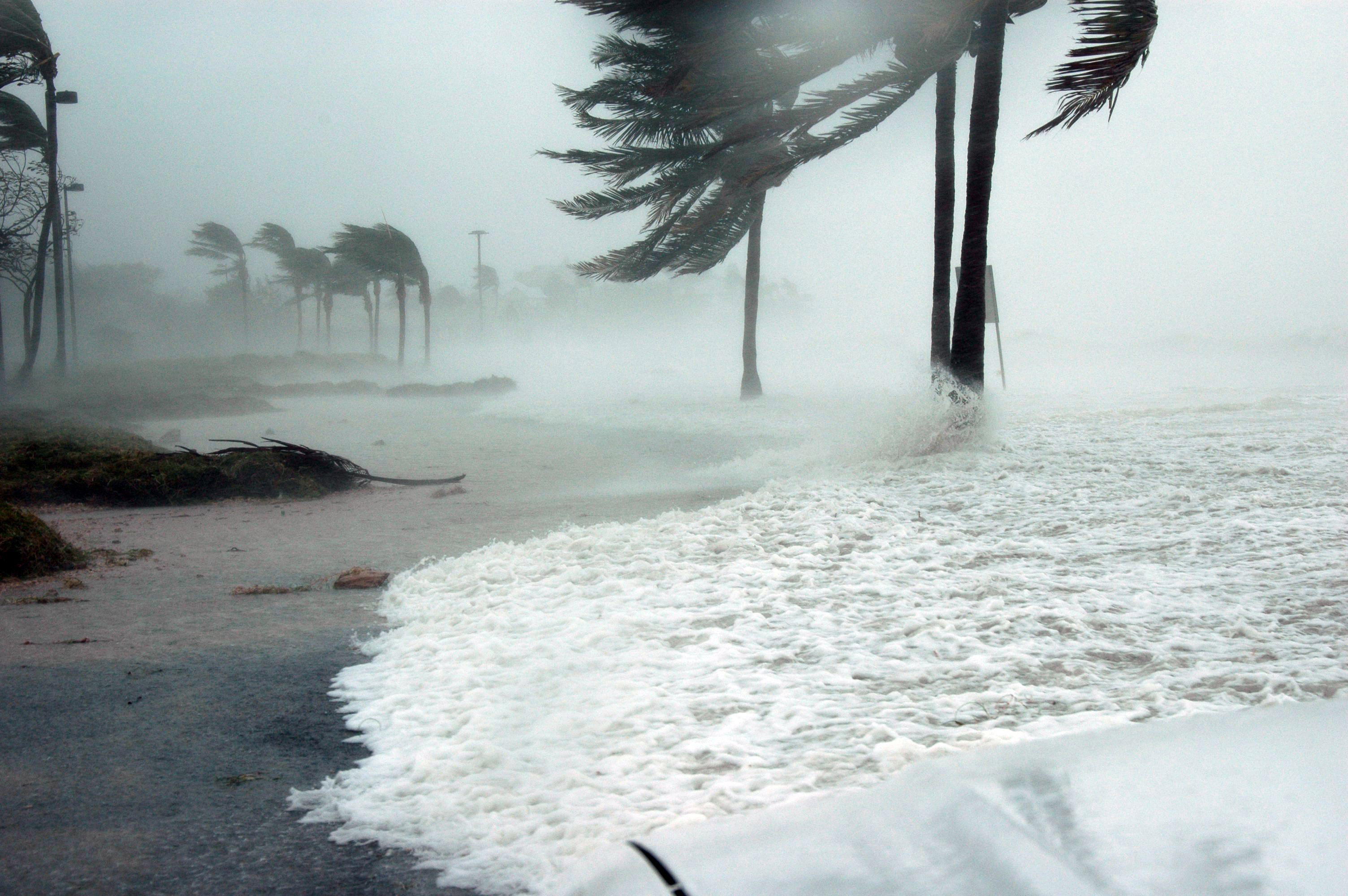
Low-lying coastal areas of Palmetto Bay and Cutler Bay face another round of minor tidal flooding through Friday evening, Oct. 9, as king tides raise water levels across South Florida and Hurricane Isaias strengthens over the Gulf of Mexico.
The National Weather Service in Miami extended its Coastal Flood Statement on Thursday, Oct. 8, warning that isolated minor flooding could leave water on roads and property in coastal Miami-Dade and far southern Miami-Dade counties.
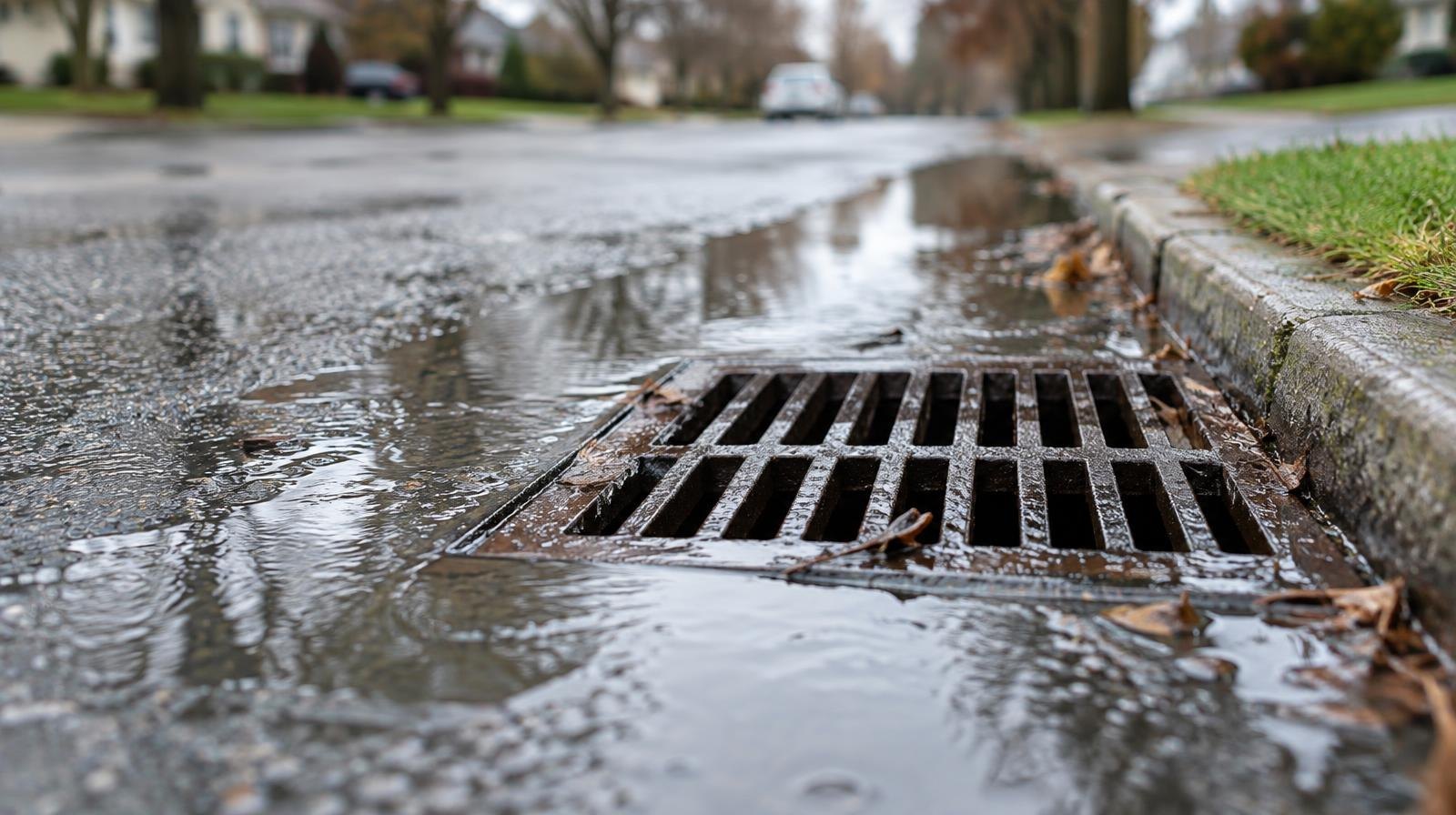
The agency urged residents not to drive through flooded roadways.
Miami-Dade County Emergency Management also warned that higher-than-normal tides from Oct. 7 through Oct. 13 could cause flooding in low-lying and coastal neighborhoods. Residents were advised to allow extra travel time and avoid streets covered by water.
Hurricane Isaias strengthens to 100 mph
Meanwhile, Hurricane Isaias continued strengthening Thursday as it moved northeast across the Gulf of Mexico.
The National Hurricane Center reported maximum sustained winds of 100 mph in its Thursday evening advisory, up from 75 mph when the storm first reached hurricane strength late Wednesday.
At 7 p.m. Central time Thursday, Isaias was about 290 miles south of the mouth of the Mississippi River, moving northeast at 13 mph.
Hurricane and storm surge warnings covered portions of the northern Gulf Coast, where forecasters warned of dangerous coastal flooding and damaging winds.
Isaias was not forecast to make landfall in South Florida. WSVN meteorologist Brent Cameron reported that the storm's expected track would keep its center away from the region.
South Florida faces separate coastal flooding threat
Although Isaias was tracking toward the northern Gulf Coast, Palmetto Bay and Cutler Bay remained vulnerable to flooding associated with seasonal king tides.
The National Weather Service warned that unusually high tides could cause saltwater to collect on low-lying roads and property, particularly near the coast.
The tidal flooding threat was separate from the hurricane's most dangerous impacts, which were forecast along the northern Gulf Coast.
Residents should avoid driving through standing water, allow additional travel time in flood-prone neighborhoods and monitor local advisories as high tides continue.
For updated coastal flood statements and local forecasts, visit weather.gov/mfl. Hurricane forecasts and advisories are available from the National Hurricane Center.




.jpg)