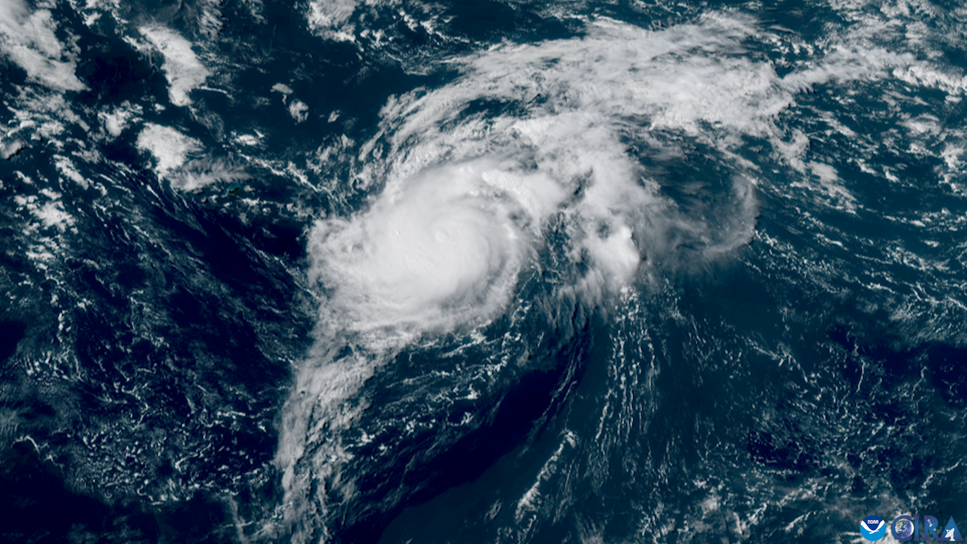
The 2026 Atlantic hurricane season is on pace for one of its quietest starts in decades, but the same El Niño helping suppress storms could bring a wetter-than-normal winter to Palmetto Bay and Cutler Bay.
Two disturbances collapse under wind shear
Two tropical disturbances that emerged in the deep Atlantic the week of Aug. 11, designated Invest 92L and Invest 94L, both collapsed under strong wind shear across the central Atlantic and Caribbean, according to WPLG Local 10 hurricane specialist Michael Lowry. Invest 92L had reached an 80% chance of development on Aug. 13 before falling apart.
With no new development expected this week, Lowry reported that 2026 is on pace for the least active start to an Atlantic hurricane season since 1988.
"El Niño is taming the late August beast in the Atlantic that usually rears its ugly head this time of year," Lowry wrote in his Aug. 18 newsletter.
Storm energy running far below average
The season has produced three named storms so far: Arthur, Bertha and Cristobal. None became a hurricane.
The season's Accumulated Cyclone Energy, a measure combining storm intensity and duration, stood at 3.1 through Aug. 19, 83% below the 1991-2020 average for that point in the season, according to the National Hurricane Center.
Forecasters see a below-normal season ahead
Wind shear across the western Atlantic is at its highest level on record and is not expected to ease soon, according to Lowry.
Colorado State University's final 2026 forecast, issued Aug. 5, projects nine named storms, four hurricanes and one major hurricane for the full season. CSU puts the probability of a major hurricane striking the U.S. East Coast, including the Florida Peninsula, at 7% for the remainder of the season.
NOAA gives a 55% chance the season will finish below normal, compared with a 35% chance of a near-normal season and a 10% chance of above-normal activity.
El Niño typically suppresses Atlantic hurricane activity by increasing vertical wind shear, which can disrupt developing tropical systems.
But storms still form close to home
In an Aug. 14 interview with the Augusta Chronicle, NOAA lead hurricane season forecaster Matthew Rosencrans cautioned that storms forming during El Niño years can develop closer to the Gulf Coast and Southeast. He urged residents to prepare as they would in any other hurricane season.
Hurricane Andrew is a reminder that a quiet season does not eliminate the threat of a catastrophic landfall. Andrew formed during the relatively quiet 1992 Atlantic hurricane season and struck South Florida on Aug. 24, 1992, killing 65 people and causing roughly $27.3 billion in damage.
Wetter winter possible under El Niño
The El Niño helping suppress this hurricane season could have a different effect this winter, tilting the odds toward wetter conditions across Florida and other parts of the southern United States.
NOAA's Climate Prediction Center is favoring above-normal precipitation across much of the southern U.S. during winter 2026-27, with some of the strongest probabilities centered on parts of the Southeast.
Seasonal outlooks indicate whether precipitation is more likely to fall above, near or below historical averages; they do not predict specific rainfall totals for communities such as Palmetto Bay or Cutler Bay.
Past El Niño winters have also brought an increased risk of severe weather to Florida. One of the starkest examples came Feb. 22-23, 1998, when a series of powerful tornadoes struck Central Florida, killing 42 people, injuring more than 260 and causing more than $100 million in damage.
Next watch window opens around Aug. 25
Lowry identified another potential development window in the deep tropics around Aug. 25, when a tropical wave moving off Africa could enter the Atlantic.
Even with the season running well below normal so far, forecasters continue to caution that it takes only one hurricane striking a populated area to make a quiet season consequential.
Residents can review hurricane plans and preparedness resources through Miami-Dade Emergency Management at miamidade.gov/emergency.


.jpg)