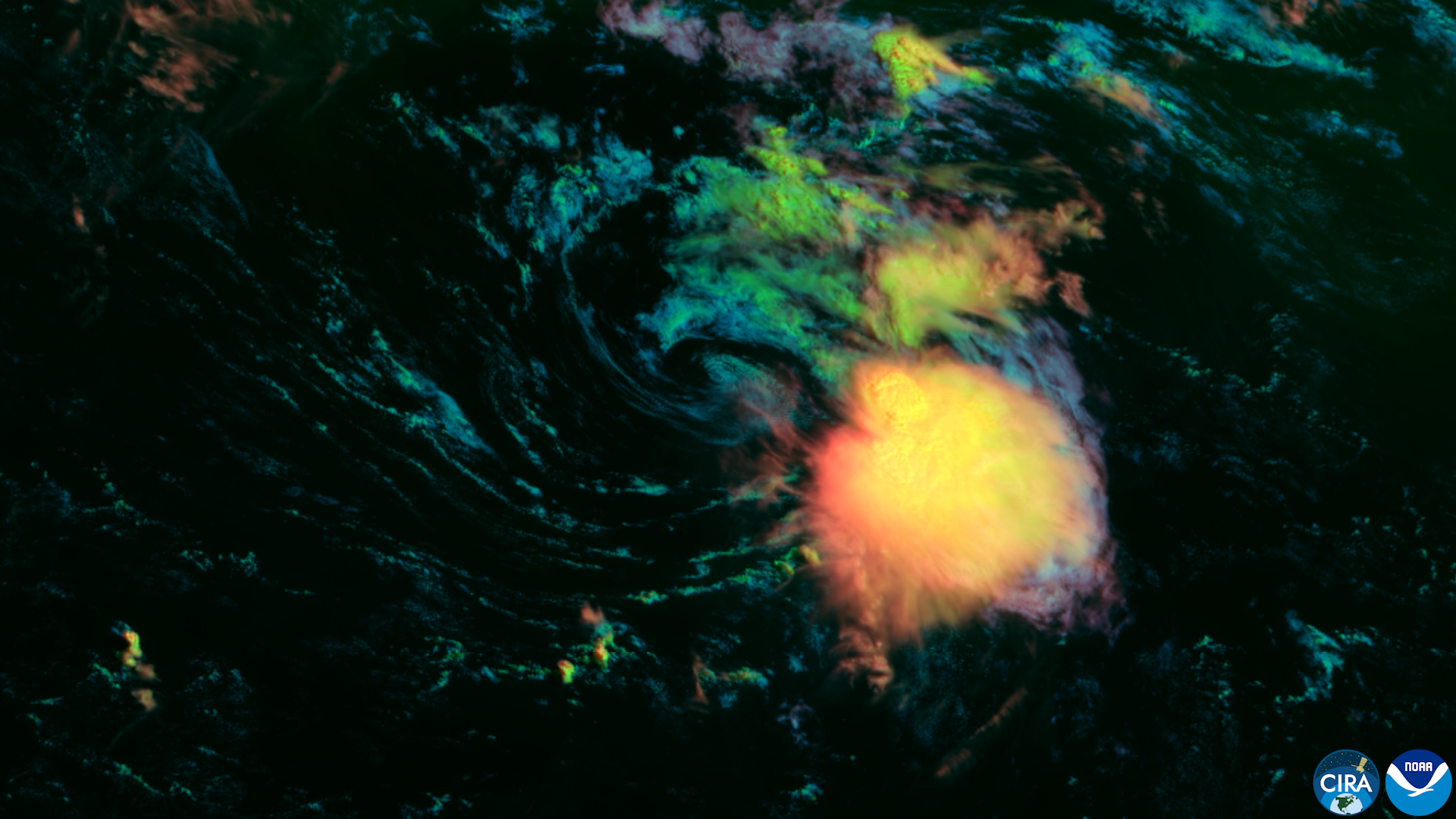
The National Hurricane Center on Wednesday, Aug. 12, began issuing advisories on Tropical Storm Cristobal, the 2026 season's third named storm, while a more concerning system in the central Atlantic now carries an 80% chance of becoming a tropical depression within days.
Cristobal poses no threat to the United States. Located about 880 miles west-southwest of the Azores with 45 mph winds, the storm is moving east and the NHC expects it to dissipate by Thursday, Aug. 13.
The system drawing closer attention from forecasters is Invest 92L, a vigorous tropical wave about 950 miles west-southwest of the Cabo Verde Islands. The NHC's 2 p.m. EDT advisory assigns it an 80% formation chance through both 48 hours and seven days, up from 70% odds on Tuesday, Aug. 11.
If the system reaches tropical storm strength, it would be named Dolly.
"Right now, this area is in a mostly favorable environment for development," AccuWeather lead hurricane expert Alex DaSilva said Wednesday. "Wind shear near this tropical wave is light, however some dry air will prevent any rapid organization."
Forecast models show 92L approaching the Lesser Antilles by the weekend, with some guidance indicating possible entry into the Caribbean Sea early next week. DaSilva said any approach to the U.S. would not occur until mid-to-late next week at the earliest and would require the system to push through a "wall of wind shear" that would likely disrupt it.
Current long-range trajectories keep the system away from the United States, according to NBC 6 South Florida. Neither Cristobal nor Invest 92L is expected to have any meaningful direct impact on South Florida at this time.
Local context
The NHC is headquartered on SW 17th Street in Miami, minutes from Palmetto Bay and Cutler Bay, and the climatological peak of hurricane season arrives around Sept. 10. NOAA's Aug. 6 mid-season update maintained its prediction for a below-normal season (seven to 13 named storms, two to six hurricanes) but National Weather Service Director Ken Graham cautioned that inland rainfall causes major damage even from storms that don't reach hurricane strength, making preparation important for every system projected to impact an area.
Colorado State University's Aug. 5 updated seasonal forecast attributed the quiet season to El Niño, which senior research scientist Phil Klotzbach said is expected to generate high wind shear that suppresses storm development despite warm Atlantic ocean temperatures.
A third tropical wave several hundred miles south of the Cabo Verde Islands carries a 20% formation chance through 48 hours and 40% through seven days.
What residents should do
The National Weather Service urged residents to monitor the tropics and stay prepared. The NHC's Tropical Weather Outlook, updated daily at nhc.noaa.gov, will carry track and intensity updates on Invest 92L as the system moves westward through the week.




.jpg)