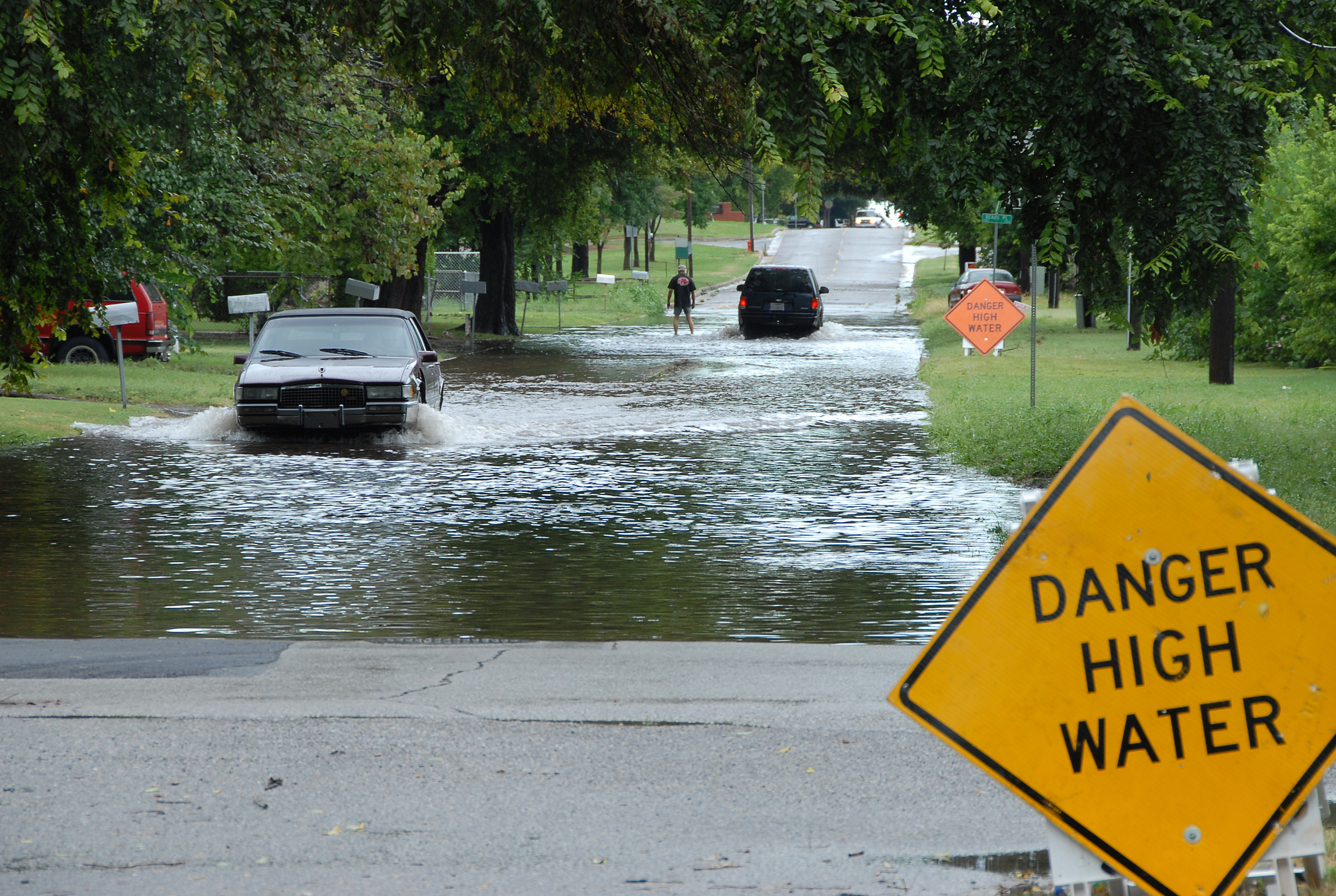
Slow-moving afternoon thunderstorms could dump enough rain on Palmetto Bay and Cutler Bay on Monday, Aug. 3, to flood low-lying streets, according to the National Weather Service and local forecasters.
The NWS Miami forecast calls for showers and thunderstorms likely after 5 p.m., with a 60% chance of precipitation and a high near 92 degrees. Heat index values could reach 103 degrees. Rainfall amounts between a tenth and a quarter of an inch are expected, with higher totals possible where storms stall.
The flooding concern stems from how slowly the storms are expected to move. WPLG Local 10 meteorologist Peta Sheerwood warned in her Sunday, Aug. 2, forecast that "because the storms are expected to move slowly, localized flooding cannot be ruled out."
Residents near known low-lying areas should watch for standing water during and after the evening storms.
Triple-digit heat compounds the risk
With heat index values reaching 103 degrees, conditions will be dangerous for anyone caught outside during a power outage or flood event. Stay hydrated. The combination of standing water and extreme heat makes Monday's storms more hazardous than a typical summer afternoon pop-up.
What residents should do
According to the National Weather Service, drivers should turn around when encountering flooded roads. Six inches of fast-moving water can knock over an adult, and 12 inches of rushing water can carry away most cars.
Residents should:
- Avoid driving through standing water, especially after dark when depth is hard to judge
- Keep storm drains near their property clear of debris
- Monitor weather alerts through Monday night, as unsettled weather is expected to continue into Tuesday, Aug. 4
Cutler Bay floodplain meeting Tuesday
The Town of Cutler Bay's Floodplain Mitigation Plan Advisory Committee meets Tuesday, Aug. 4, at 5:30 p.m. at the Cutler Bay Community Room, 10720 Caribbean Blvd., Suite 220. Residents with flooding concerns can call 305-234-4262.
No formal flash flood watch or warning has been issued for Miami-Dade County as of Monday morning. The risk is based on forecast conditions rather than an active NWS alert product.


.jpg)